Dear Reader,
Thanks to a kind friend of mine letting me use his flat over the years, I have been jolly fortunate to get to know the seaside town of Weymouth rather well. But the joy of this place doesn’t lie in the arcades, the fish & chip shops, or the gaudy touristy tat, it lies in the history of the place. The place is just heaving with it, if you know where to look that is.
If you cast your learned eye upon any aerial map of the South of England & trace a line moving eastwards you cannot fail to notice the long curved arc of Chesil Beach, along with what looks like a sort of foot at one end. Well, this boot-shaped sticky out bit is the Isle of Portland & it is where I start my dawdle. (Actually I start at a place called Smallmouth Beach at Wyke Regis that is NW of Portland ///rides.robots.hook).
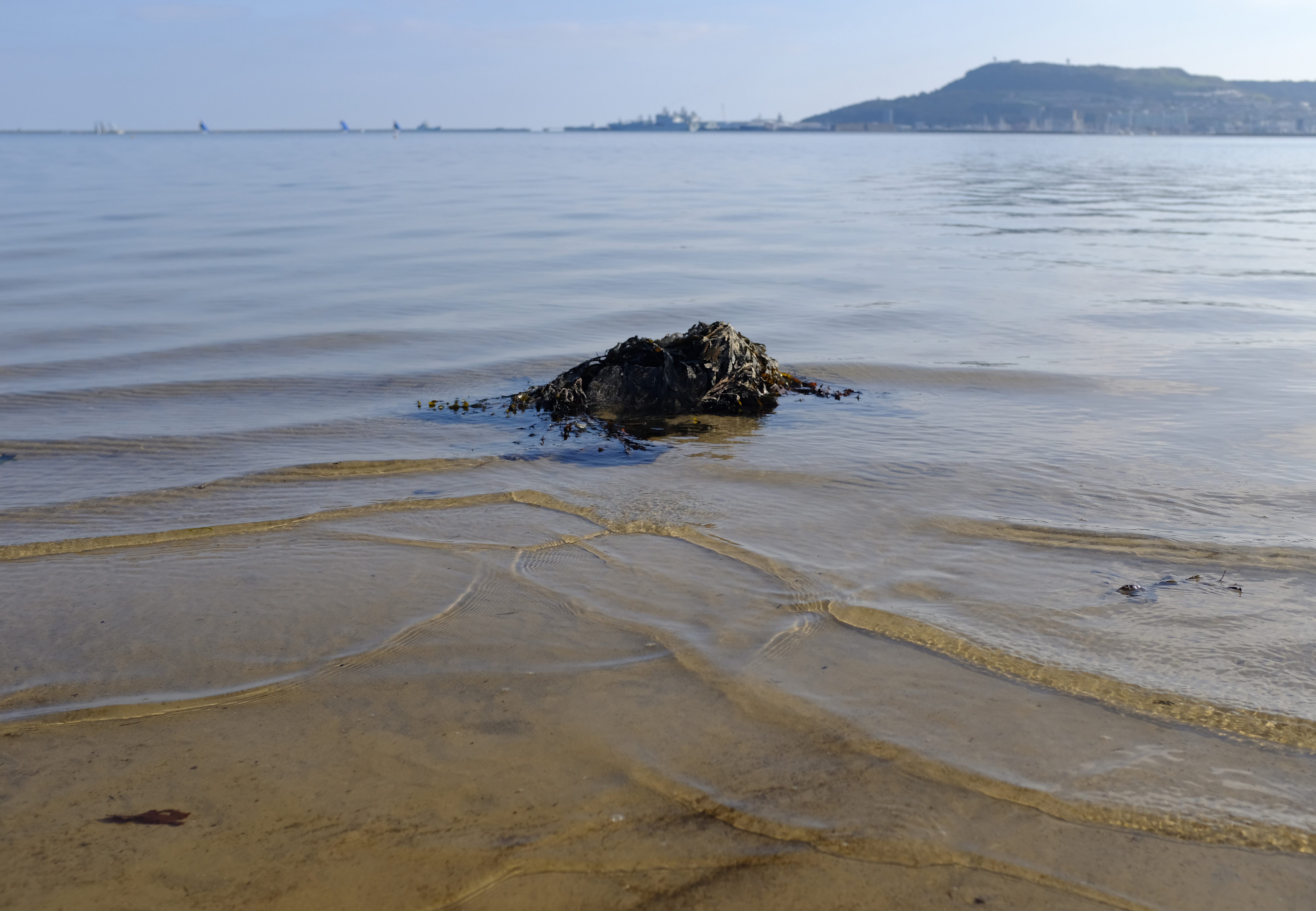
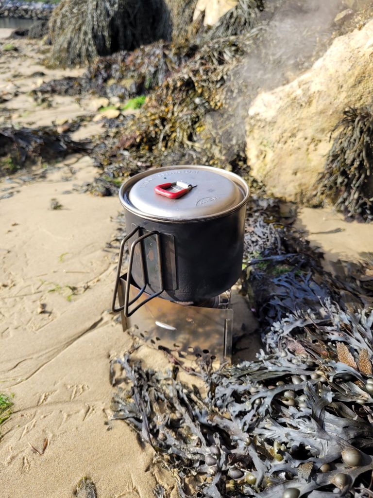
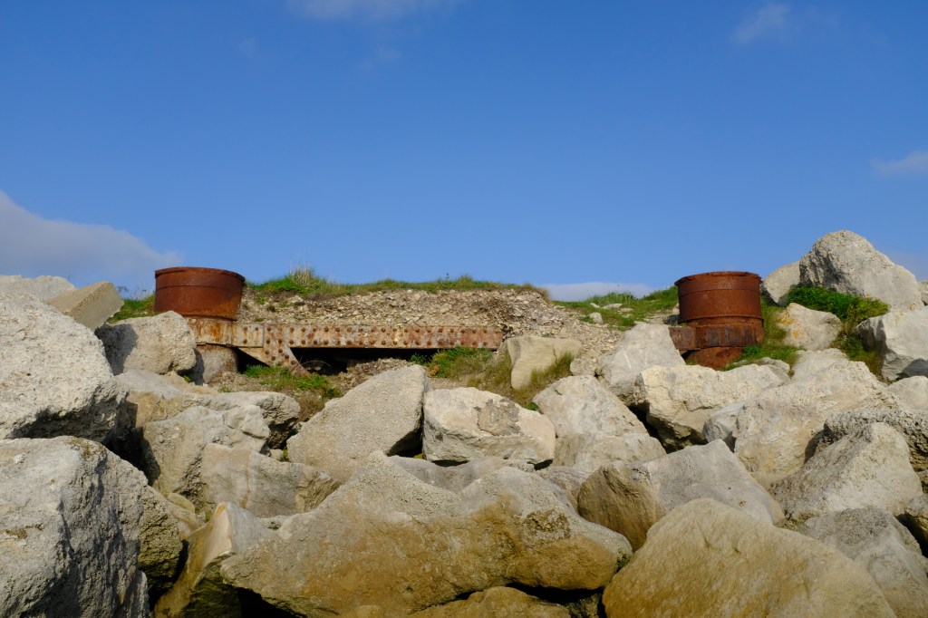
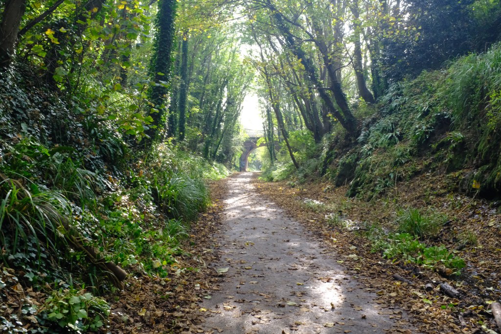
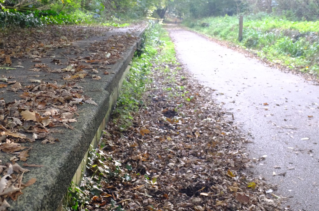
Anyway, the little beach known as Smallmouth is shielded from the rumbumptious nature of the Atlantic Ocean by the Portland breakwaters, the Isle of Portland itself & a narrow trip of shingle causeway. It is usually quiet, peaceful & the perfect place to sit down & enjoy a nice brew. But this spot wasn’t always so tranquil as 1) the Weymouth & Portland Railway used to run overhead, & 2) there was a massive torpedo factory located here. The railway which fed the factory, Portland docks, the quarries & the village of Easton, closed to passengers in 1952, but remained functional for goods until 1965, & although nothing much remains of the factory these days, signs of the railway still exists. The former trackbed from Smallmouth beach to Weymouth is now a rather nice walkway/cycle route called the Rodwell Trail & still has a few bits of railway paraphenalia still in place.
If one is making their way along the Rodwell Trail keep a look out for the remains of Sandsfoot Castle (///pints.chase.bids). This Tudor artillery blockhouse structure was part of King Henry VIII’s ‘Device Programme’, which followed a geometric design to protect it from attack by canon. Sadly due to safety issues you are not allowed to enter the ruins these days, but the small cafe, which sells a fine range of cakes, sugary snacks & pastry-clad morsels, is well worth a visit.
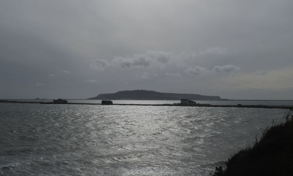
Now I am not saying one should but if one were to depart from the Rodwell Trail at Sandsfoot & aim towards Belle Vue Road one would eventually crest a promontory (///fine.pocket.remedy) that offers a rather nice view over Newton’s Cove & Weymouth itself. You can also get a rather splendid view of the Portland breakwaters too. Spurred on by the fear of French invasion, in the mid 19th century the powers that be decided to implement a massive programme of coastal defence & fort building to the region, one part being the creation of a series of breakwaters that would help shield Portland harbour. Although a chap is not legally permitted to set foot on the breakwaters an alternative I thoroughly recommend is using Google Earth to observe the structures built upon.
One such place you are permitted to physically mooch around (at a price & when it is open) is Nothe Fort (///risky.lease.storms). One of ‘Palmerston’s Follies’ Nothe Fort was open for business on 1872 with an arsenal of 64-pounders, 10 inch canons, & a number of rifled muzzle-loading guns & yet, despite being armed to the teeth, the fort didn’t actually see action until WW2 when it used for air-defence purposes.
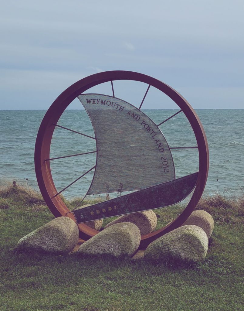
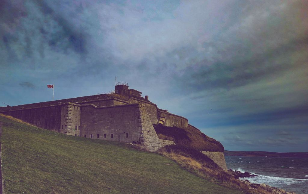
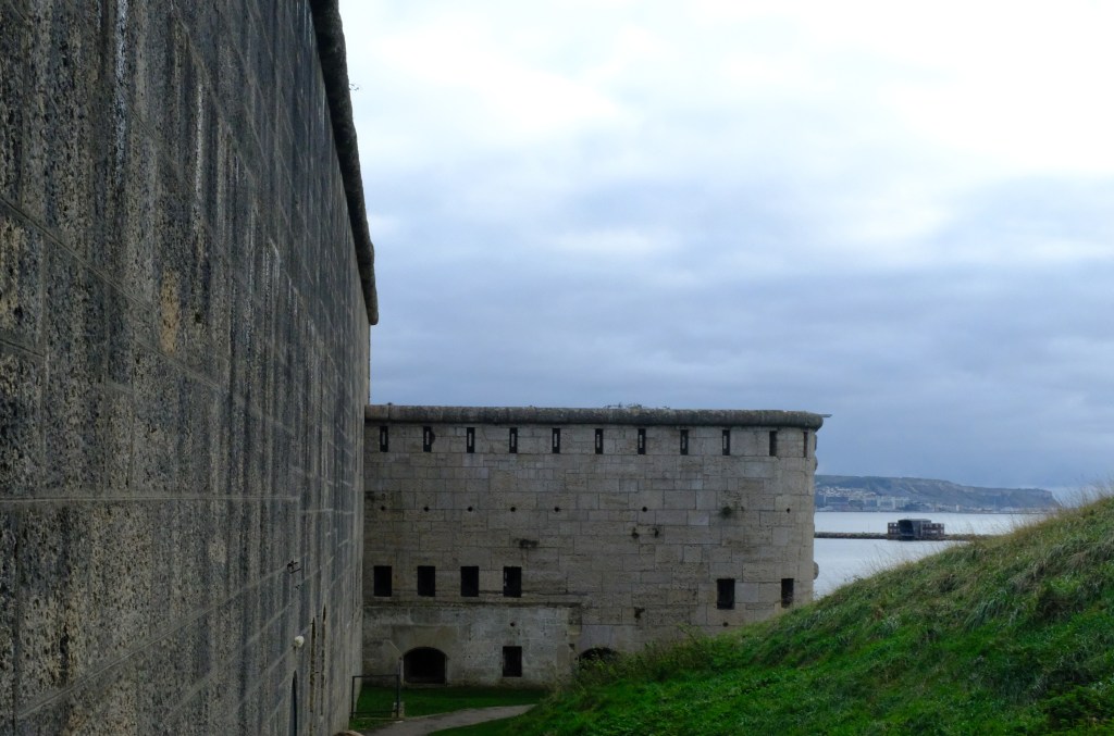
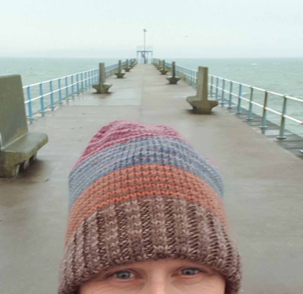
Although one can descend the harbour side via the ‘fusee steps’ & take a stroll along the Stone Pier, one may also walk through the fort car park to observe the former Red Barracks (now known as Wellington Court) which dates from the late 18th century. One may also pause & reflect on life over a pint or two in the Nothe Tavern (///shorts.rift.gravy) before winding down to the Red Lion, sorry, I mean Hope Square near the harbour.
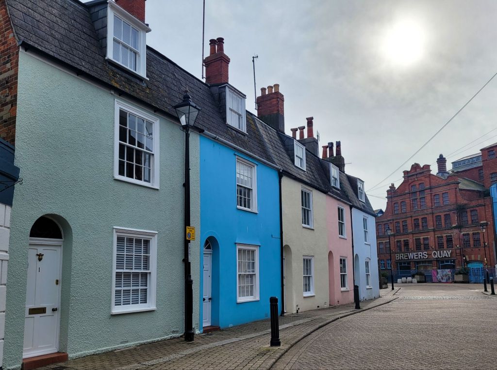
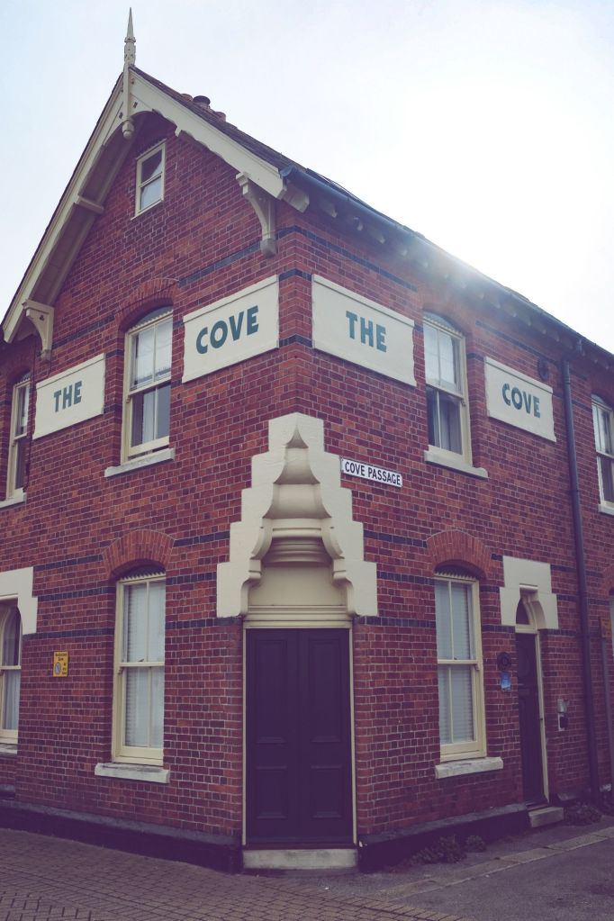
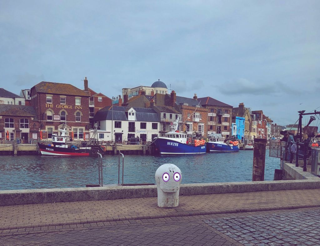
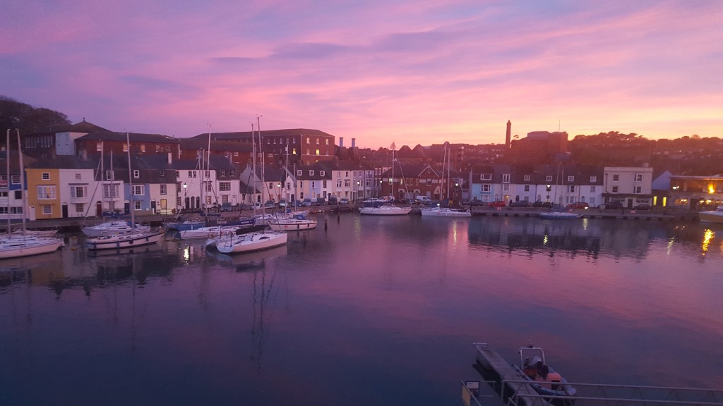
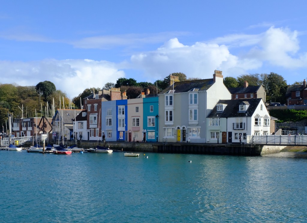
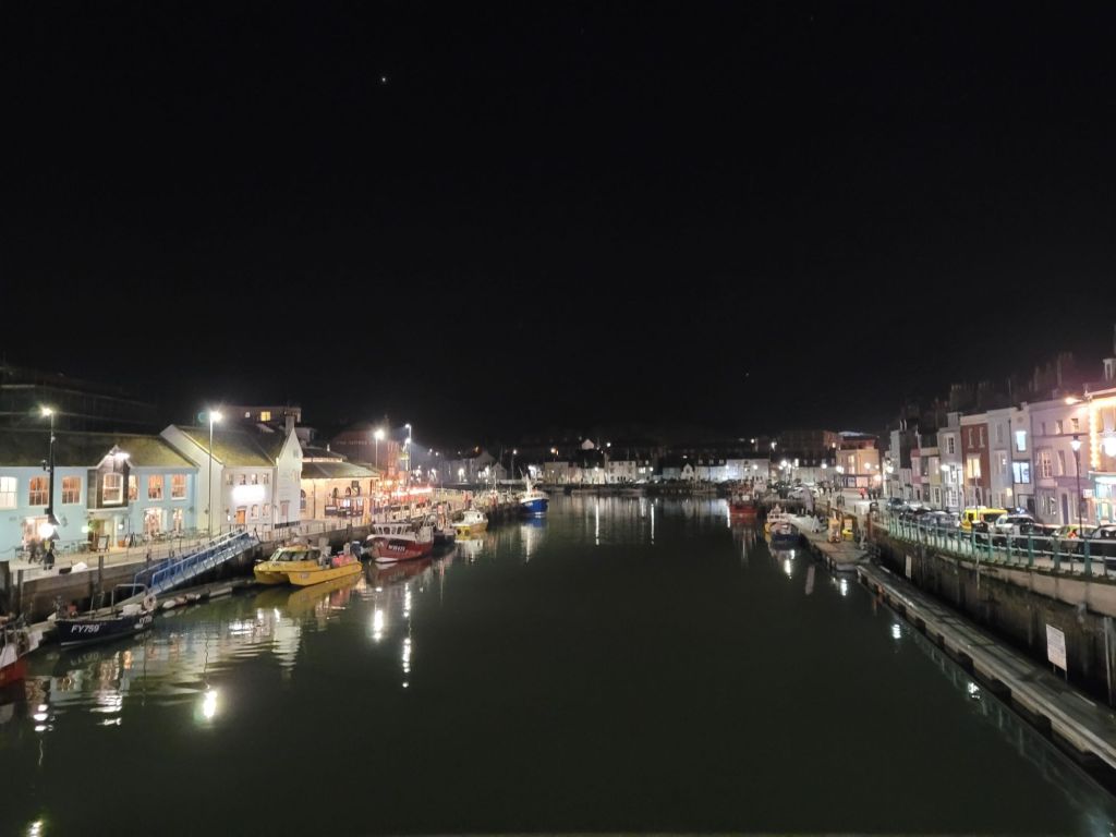
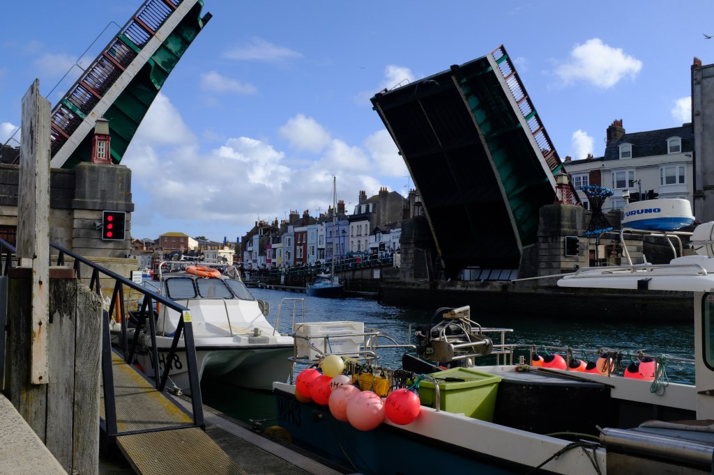
If after liquid refreshment one wishes to stagger carry on with a dawdle, one may either cross the harbour water on the little rowing boat ferry that is located near the lifeboat station, or use the harbour bridge. And although tastes vary on the subsequent route, I personally avoid the shopping district that lies to the north preferring to follow Custom House Quay back towards the beach. Although sadly no longer in evidence, a railway line used to run along this road & I’d suggest making use of a well-known search engine to find images of this.
One thing to keep an eye for when passing Maiden Street (Just past The Ship Inn) is a cannonball embedded in the wall above a public WC (///lush.toward.amber). Although a replica ball (the original being removed due to fear of it falling out & killing someone underneath) the damage is said to be genuine having been caused during the English Civil War & the Battle of Weymouth (AKA the Crabchurch Conspiracy) in 1645.
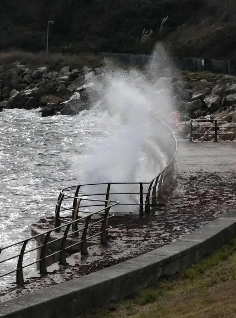
Rounding the corner in front of the Pavilion Theatre & little funfair, one can then stand next to the cast-iron railings & inhale the full majesty of Weymouth Promenade. If ice-creams, arcades & shops selling tourist tat is not your thing, I’d strongly suggest strolling past the Clock Tower & the stubby remnants of the Weymouth Pier Bandstand to Greenhill Gardens (///hopes.rods.bake). Although picturesque these days with brightly painted beach huts & displays of flowers, the site was actually used for executions back in the 18th century. Oh, how lovely…
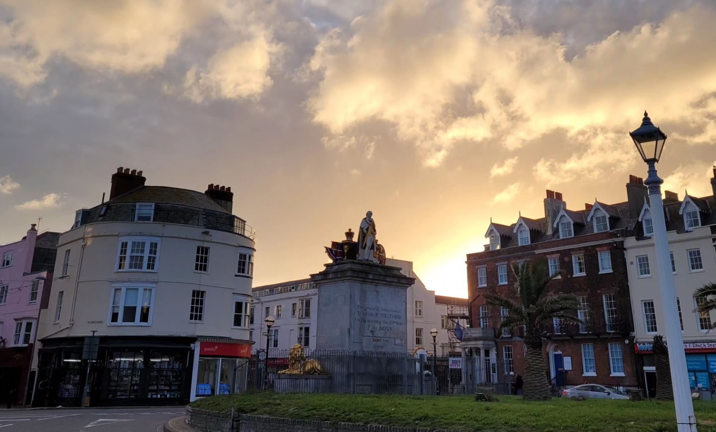
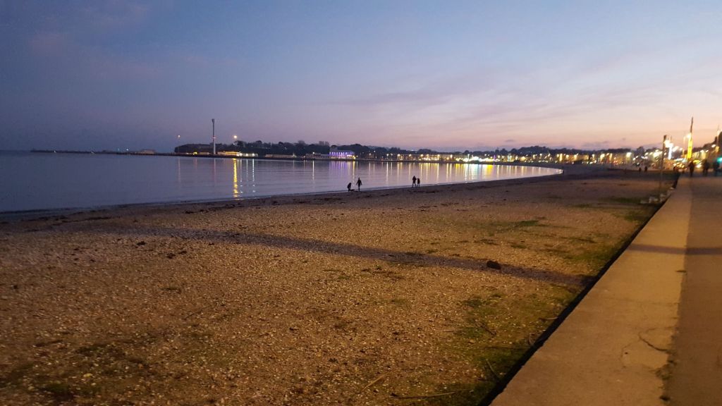
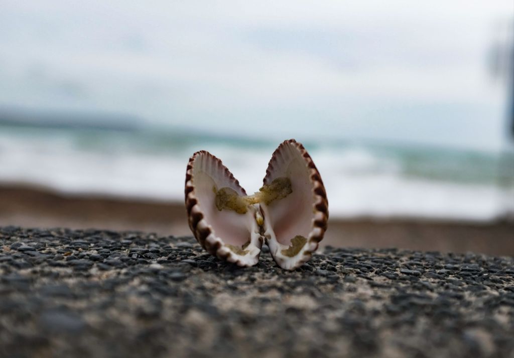
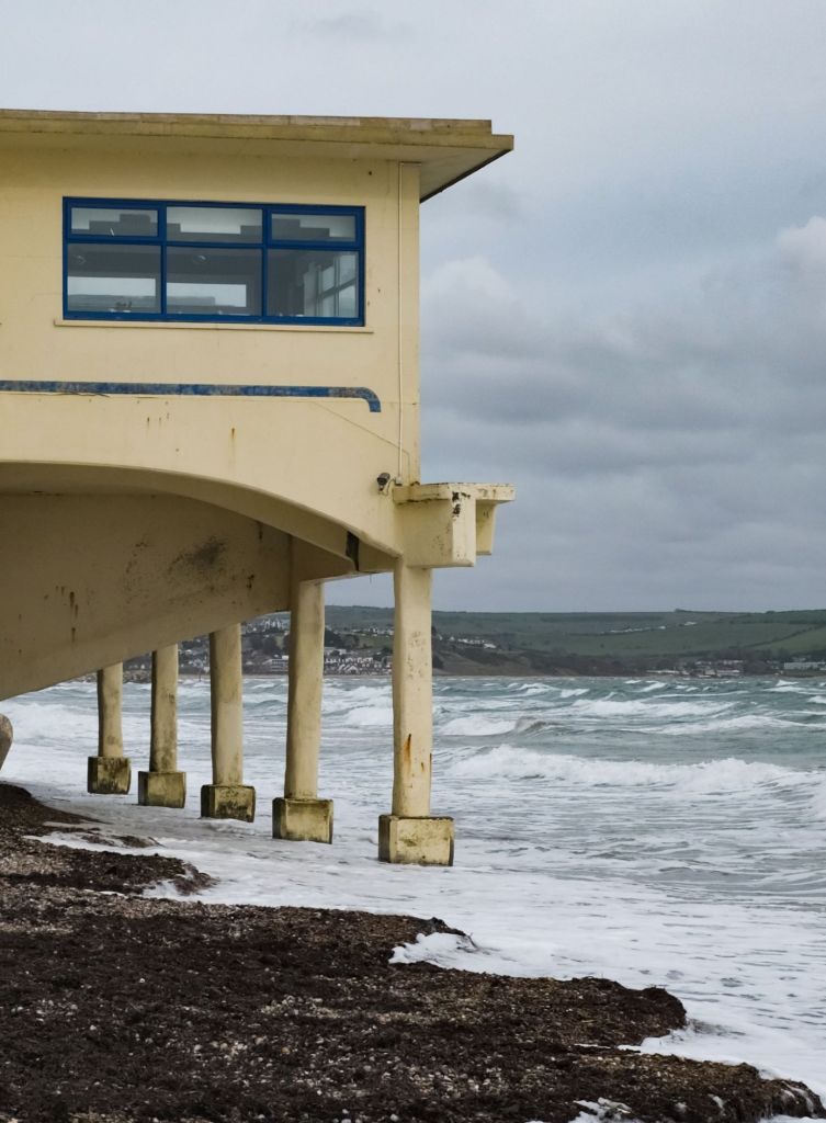
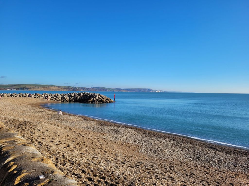
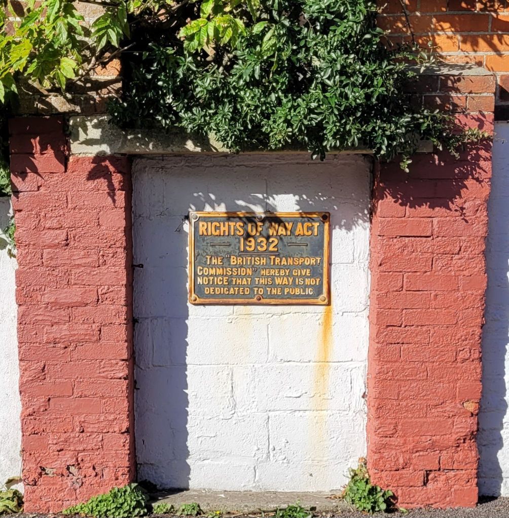
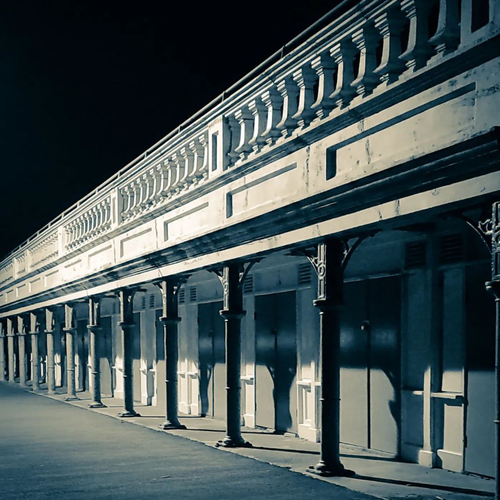
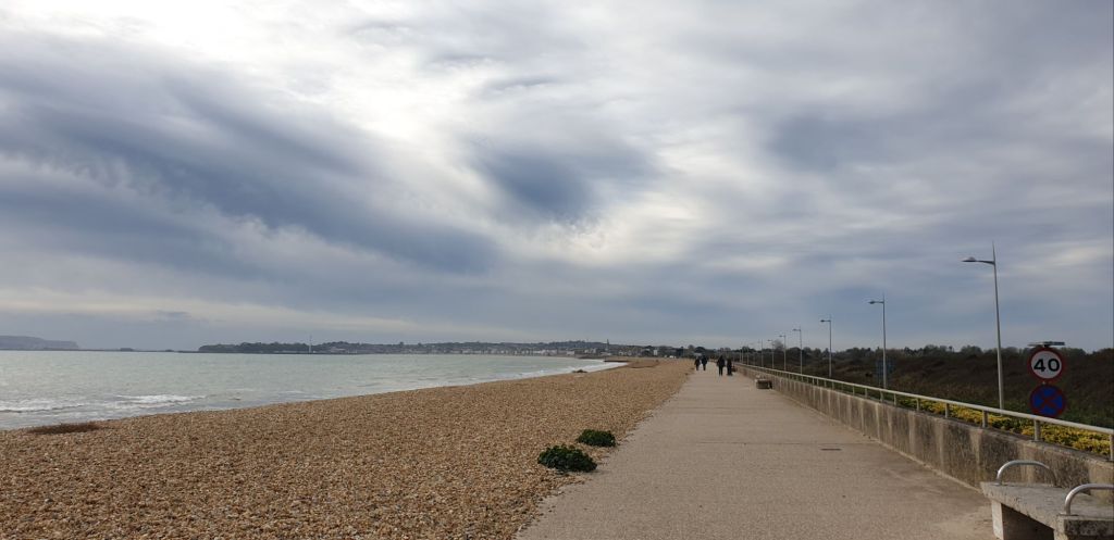
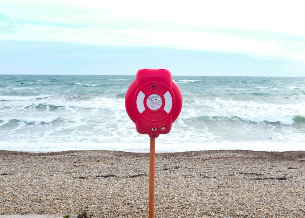
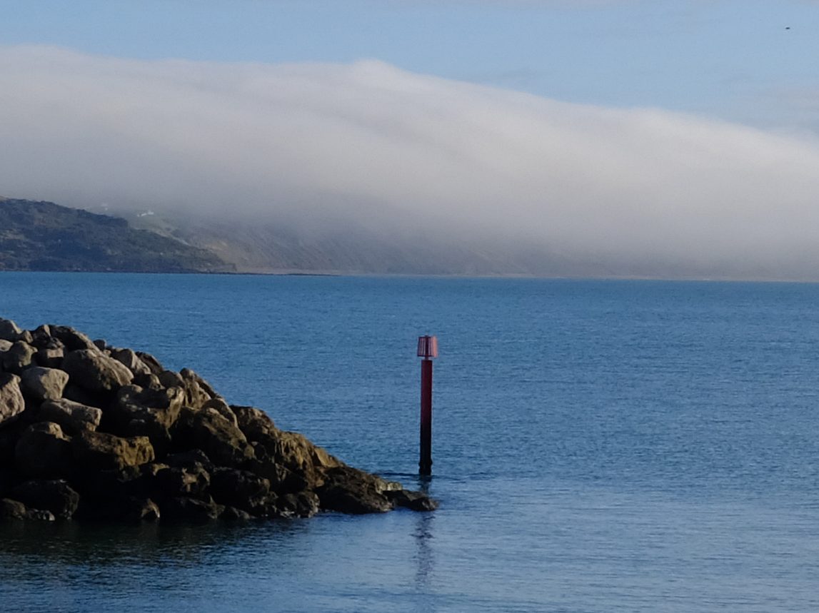
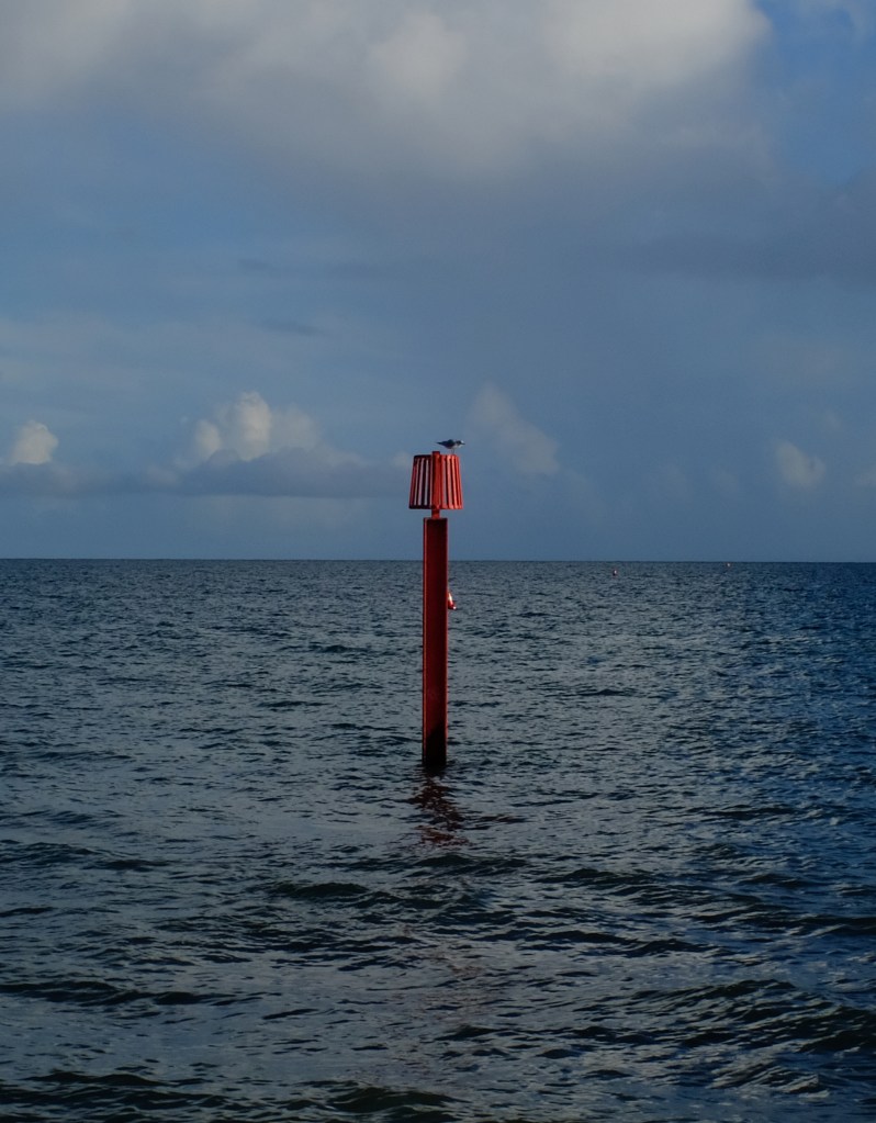
Beyond Greenhill the prom becomes a tad more bracing, being open to the elements, but on a nice day though when it’s not blowing an absolute hooley, I can state that it is a rather nice place to sit & get a brew on & just watch the world (& the chavs) drift by.
Yours sincerely
Mr DL Street
PS if you fancy a quiet pint a little off the beaten track try this place ///looked.shaky.salsa


Letters to the editor